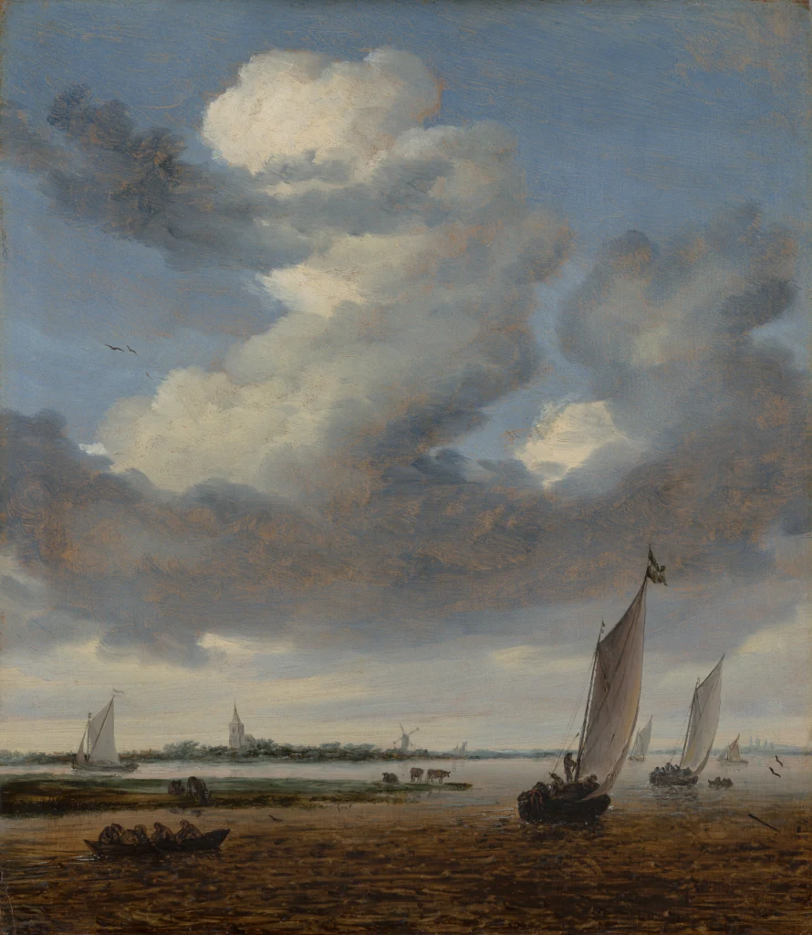
View of Beverwijk from the Wijkermeer
Details
The story
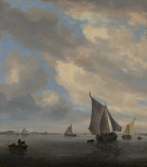
The water in this picture is gone. The Wijkermeer was a broad lake beside the town of Beverwijk, north-west of Amsterdam, and it flowed into the IJ, the inlet that led to the city. In 1872 and 1873, while the North Sea Canal was being dug, it was drained and turned into a polder of farmland.
Around 1661, late in his career, Salomon van Ruysdael set the town low on the far shore, a church tower and a windmill barely rising above the waterline. Sailing boats lean away into the distance, and a rowing boat crosses in the foreground. He chose an upright panel only 41 centimetres tall and gave well over half of it to a single towering bank of cloud.
The picture hung in the Mauritshuis on loan from 2000, and in 2014 the collector M. de Clercq gave it to the museum through its American Friends.