Turin Papyrus Map
Details
The story
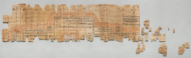
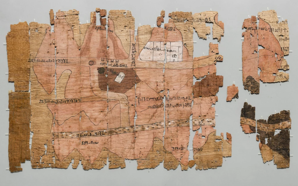
In the third year of Ramesses IV, in the 1150s BC, a huge expedition set out for the Wadi Hammamat, the desert valley between the Nile and the Red Sea, to quarry bekhen stone, a dark greenish stone prized for royal statues. A rock inscription there counts 8,368 men. Scholars connect this papyrus with that venture. It maps a stretch of the wadi, with south at the top, the direction the Nile flows from.
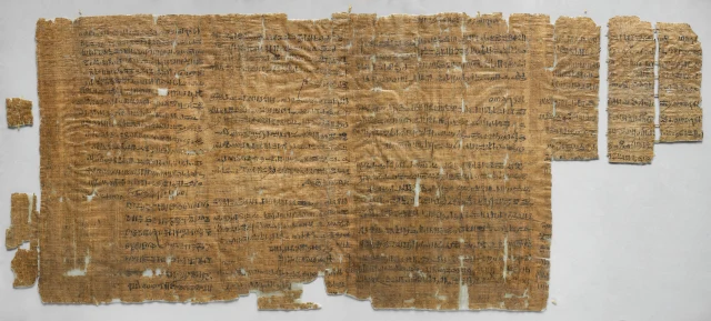
The hills along the valley are drawn as if seen from the side. Some are pink, which the museum reads as sedimentary rock and pink granite, others black, for volcanic and metamorphic rock. Notes in hieratic script mark the roads, a quarry, gold workings, a few houses, a chapel of Amun and a stela of Seti I. To fit the long roll, the mapmaker straightened the valley's bends. The museum believes he was Amennakht, scribe of the royal tomb workmen at Deir el-Medina, and calls the papyrus one of the earliest known geographical maps. In 1992 two geologists, James Harrell and Max Brown, matched its features to the ground and called it the world's oldest surviving geological map.