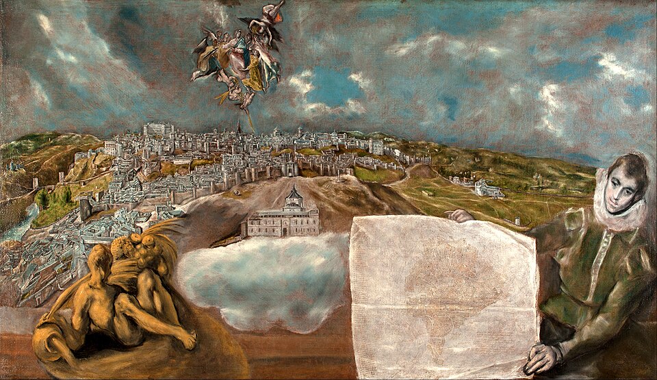
El Greco, View and Plan of Toledo, 1610. Wikimedia Commons. · PD
톨레도의 전경과 지도
상세 정보
이야기
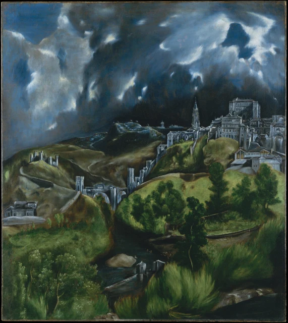
엘 그레코가 노년에 자신의 도시로 삼은 톨레도를 그린 그림입니다. 화면 앞쪽에서는 한 젊은이가 도시의 지도를 펼쳐 들고 있고, 왼편에는 타호강을 의인화한 강의 신이 비스듬히 누워 있습니다. 한가운데에는 타베라 병원이 구름 위에 떠 있듯 그려졌습니다. 실제 위치에서는 다른 건물에 가려지기 때문에, 그레코는 건물을 옮겨 정면이 보이도록 했고, 그 사정을 지도 위 명문에 담담하게 적어 두었습니다. 이 그림을 주문한 사람은 병원의 관리자이자 화가의 친구였던 페드로 살라사르입니다. 1561년 궁정이 마드리드로 옮겨 가면서 옛 위상을 잃어 가던 도시를, 크레타 출신의 이 화가는 오히려 자랑스럽게 화폭에 옮겼습니다.